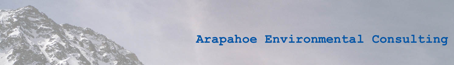
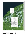
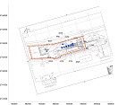
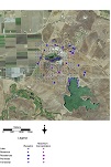
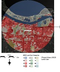
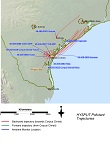
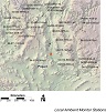
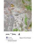
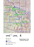
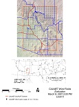
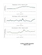
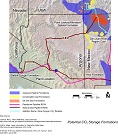
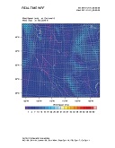
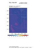
Listed below are graphical samples of work performed by Arapahoe Environmental Consulting. Click on a thumbnail to see the full size graphic. General arrangement drawings for a large project that have been digitized, georeferenced, and rotated to LCC north A general arrangement drawing that has been digitized, georeferenced, and rotated to UTM north Ambient concentration contour map Receptor locations, maximum concentrations, and ambient concentration contour map Land use analysis using USGS land use categories (see, also, Use of USGS Land Cover Data as an Alternative to the Auer Land Use Analysis for Air Dispersion Modeling HYSPLIT analysis of forward and backward pollutant trajectories An evaluation of local ambient monitor locations Terrain evaluation to evaluate potential air dispersion towards non-attainment area CALPUFF and CALMET domain map for Class I area analyses Quality assurance analysis for CALMET wind fields Quality assurance analysis for CALMET surface data for a node near a measurement location Carbon sequestration and storage evaluation for a CO2 BACT analysis Domain for 36 km WRF data showing wind fields A selected subdomain for 12 km WRF data showing wind fields